NWS Releases Damage Report on June 22 Page County Storm
LURAY, Va. — The Baltimore MD/Washington DC office of the National Weather Service has issued a public information statement and stats for the severe storm that blew through the area on Monday.
The June 26 report is as follows:
Start Date
6/22/2026
Start Time
3:47 PM EDT
Start Location
1.5 Miles E Intersections / Page County / VA
End Time
3:51 PM EDT
End Location
1 Mile SE Stony Man / Page County / VA
Peak Wind /E/
85 mph
Path Length /statute/
6.7 miles
Survey Summary:
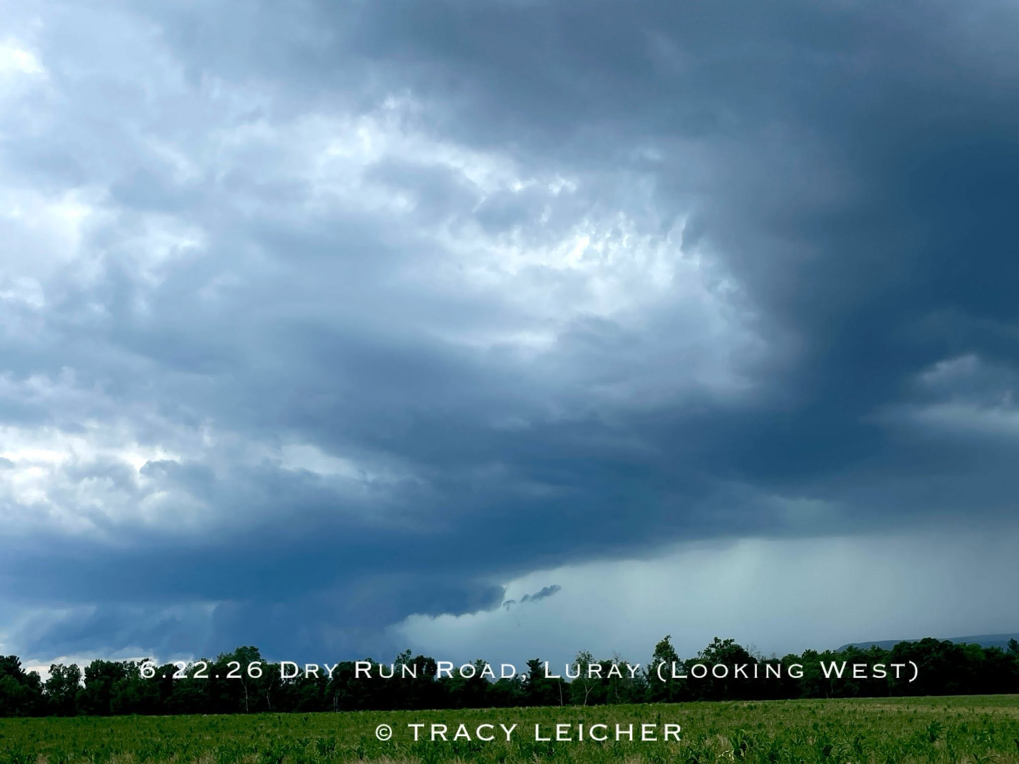
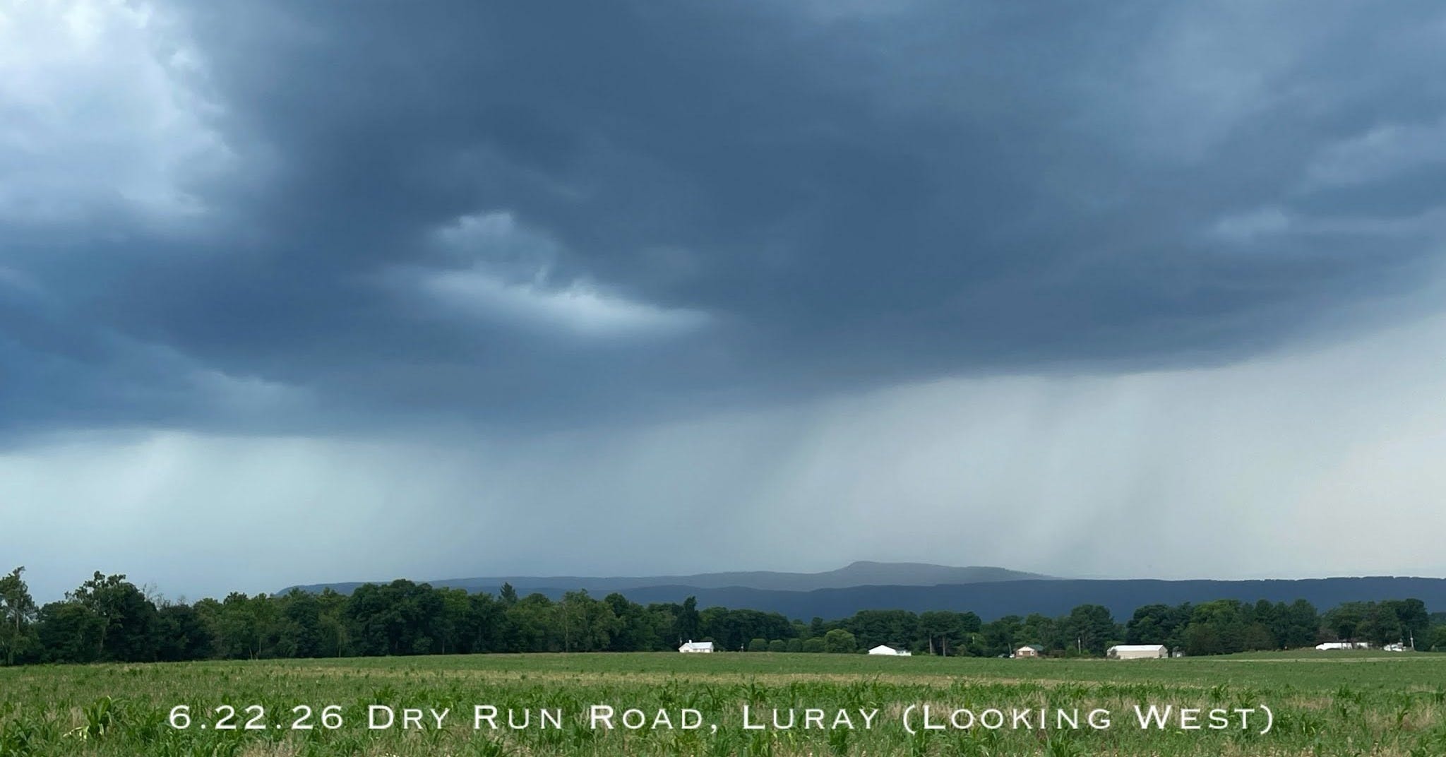
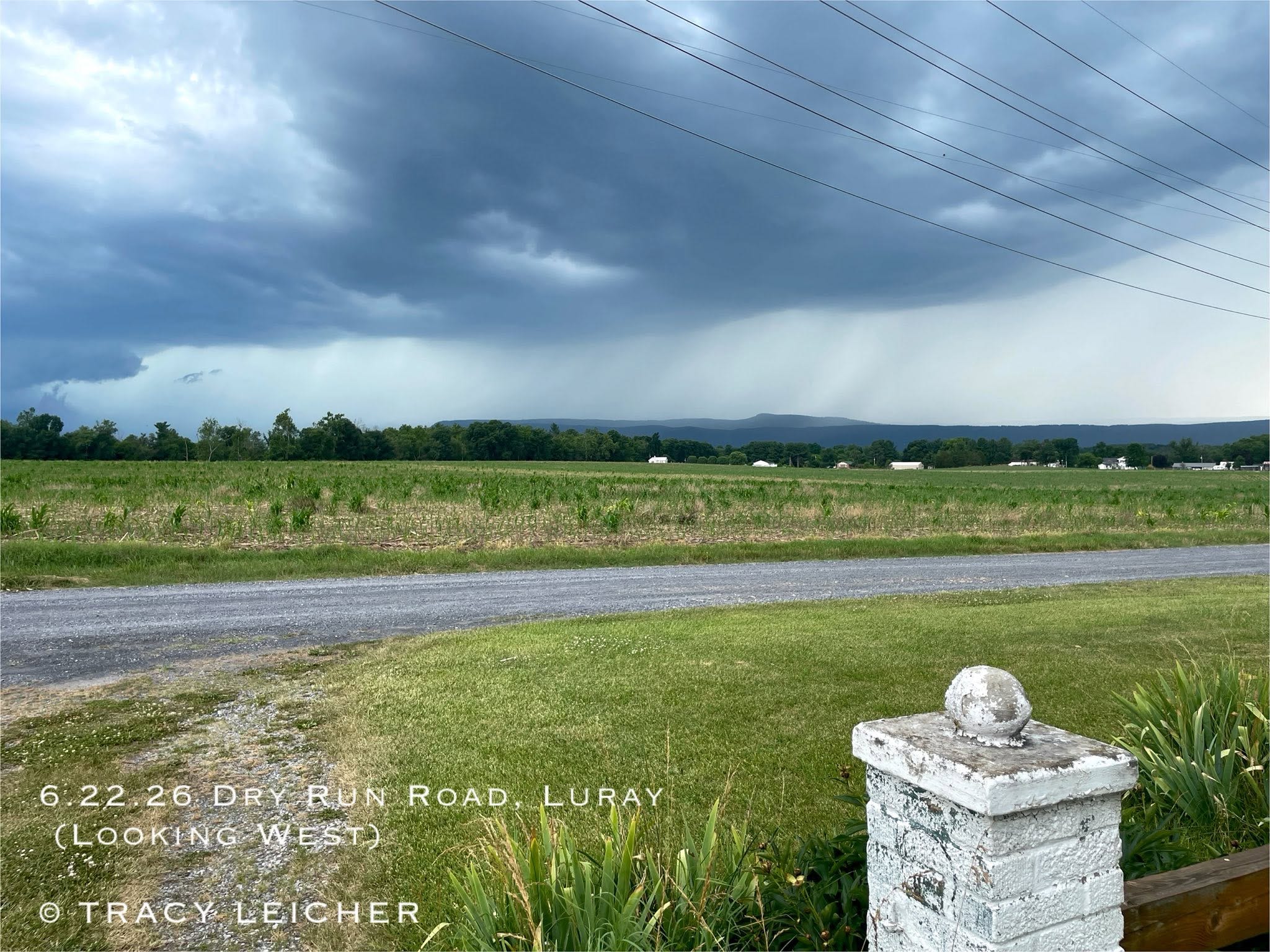
A severe thunderstorm on the afternoon of Monday June 22nd produced a downburst of damaging wind that created a path of damage nearly seven miles long through central Page County Virginia, about 2 miles south of Luray.
Along that path that passed through the areas of Leaksville and Stony Man, there were many trees snapped and uprooted.
In addition, outbuilding, shed, siding and shingle damage was evident.
Peak winds of 85 mph were estimated around Mill Creek Road, Rodeo Drive, and Mt. Zion Road between E Branch Rd and Redman Store Road where there was substantial structural damage.
A home roof was partially lifted on Rodeo Drive.
There was also roof damage to two homes on Mt. Zion Drive, where about half of the windward side of each roof was lifted off. The same was true for chicken houses on the property where substantial portions of the tin roofs were lifted off and thrown downwind, or bent.
Large hay bales were rolled tens of yards. Damage was noted to be unidirectional with
storm movement, generally thrown to east.
Severe thunderstorms can produce wind gusts equal to EF0 and EF1 tornadoes.
The National Weather Service would like to thanks Page County Department of Emergency Management and the local broadcast meteorologists for their assistance with information and damage reports.